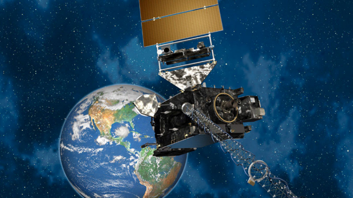
The GOES-West weather satellite has had problems ever since it reached orbit and went into operation in 2018. Meant to capture images and data that is critical to meteorologists and researchers, the malfunctions and flawed data have been of huge concern to the engineers and operators responsible for the satellite.
Fortunately, the problem was identified, and a new weather satellite is launching to orbit to take its place.
Related: GOES-T Launches to Orbit for NOAA and NASA
What Happened with GOES-West?
The GOES-West satellite began its life as GOES-S and launched from Cape Canaveral, Florida on March 1, 2018. Approximately three and a half hours after launch, the spacecraft was delivered into geostationary orbit 22,300 miles above Earth and reclassified GOES-17. Once in orbit, the satellite’s Advanced Baseline Imager (ABI) was powered on.
By May 23, 2018, operators on the ground had noticed that both of the ABI’s Loop Heat Pipes (LHPs) were not effectively transferring excess heat away from the instrument. This excess heat caused the instrument to overheat and led to a loss of data at certain times of the year. Between May 29th and September 28th, an Independent Review Team (IRT) worked to find out why the LHPs failed and find any solution to preserve as much data quality as possible.

The team was able to work out alternate operations, procedures, and operating limits to preserve a 97% data availability for the GOES-17 satellite. Examples of this include changing the position of the satellite to limit the amount of sunlight that reaches the ABI. Having restored 97% data availability, GOES-17 was declared operational and renamed GOES-West.
How Does the Loop Heat Pipe Failure Affect GOES-West Data?
During nighttime hours at certain parts of the year, the Sun will heat up Infrared (IR) detectors inside the ABI. Because the LHPs are unable to cool these detectors, they become warmer than they were designed to operate. The IR detectors were designed to measure the thermal energy radiated from the Earth’s atmosphere. When these detectors become too warm, they radiate at temperatures close to the wavelengths they are attempting to detect from the Earth. Eventually, these emissions overwhelm the signal from the Earth “saturating” the detectors and making the data they provide unusable.

The GOES Advanced Baseline Imager (ABI)
The ABI is the primary instrument on the GOES-R series of satellites. It is a mission critical payload that provides 65% of all mission data. The ABI views the Earth with 16 different spectral bands or “channels”. Two visible channels, four near-infrared channels, and ten infrared channels. Past GOES satellites only used 5 spectral bands. Data from the ABI is used by meteorologists to monitor the weather, oceans, land, climate, and hazards such as forest fires, volcanoes, flooding, hurricanes, and severe storms.

The ABI can track and monitor cloud formation, atmospheric motion, convection, land surface temperature, ocean dynamics, the flow of water, fire, smoke, volcanic ash plumes, aerosols and air quality, and vegetative health. It enables meteorologists to pinpoint and track developing storms with much greater detail. The ABI can provide images at 5–10-minute intervals. During severe weather situations, images can be provided as fast as 1 minute or 30 seconds.
Replacing GOES West with GOES-T
Based on recommendations from the IRT, the GOES-T LHPs have been redesigned to limit the chance of future cooling anomalies. The new design will be a simpler configuration and eliminate the filters in the LHPs that are susceptible to being clogged.

On June 24, 2021, the decision was made to replace GOES-West with GOES-T due to the ongoing issue with the LHP. GOES-T is scheduled to launch on March 1, 2022. Shortly after reaching its orbit, it will be renamed GOES-18. After it completes system checkouts it will take the place of GOES-17 as GOES-West. GOES-17 will then be placed into on-orbit storage.
This article was previously published by Michael Galindo on ChicagoNow.

