Cosmic Chicago
Chicago's Independent Space News Outlet
Tag: NOAA
-

NOAA Releases First Image from GOES-18 Weather Satellite
The National Oceanic and Atmospheric Administration (NOAA) has released the first images from the GOES-18 weather satellite. The images were taken on May 5th and show the capabilities of the GOES Advanced Baseline Imager (ABI) 16 channels. The first four are visible and near-infrared, and the next ten are infrared. Data from the ABI is…
-
Mission Update: GOES-T Becomes GOES-18
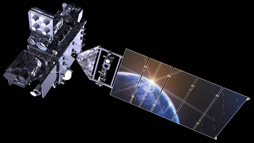
GOES-T successfully launched atop a ULA Atlas V rocket on March 1, 2022. That evening the satellite was deployed into its transfer orbit, and mission managers confirmed that GOES-T was operating under its own power after deploying its solar array. On March 14th, GOES-T performed its final engine burn to place it in its final…
-
Photos: GOES-T Launches from Cape Canaveral
A ULA Atlas V rocket launched the GOES-T weather satellite to orbit for NOAA and NASA from Cape Canaveral, Florida on March 1, 2022. These photos capture the launch and pre-launch activities. A ULA Atlas V rocket carrying the GOES-T weather satellite for NASA and NOAA launches to orbit from Cape Canaveral on Tuesday, March…
-
GOES-T Launches to Orbit for NOAA and NASA
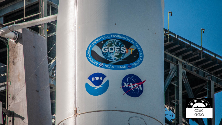
An Atlas V rocket launched the GOES-T weather satellite to space from Cape Canaveral at 3:38 pm CST today March 1st, 2022. The satellite is currently traveling through space on its way to orbit, which is about a three and a half hour mission after launch. Following the successful launch by ULA and NASA’s Launch…
-
NOAA’s Next Weather Satellite is Ready for Liftoff: How to Watch the GOES-T Launch
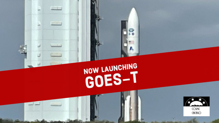
NOAA is ready to launch the next weather satellite in its Geostationary Operational Environmental Satellites- R Series, called GOES-T to orbit. The GOES-T satellite is launching on a ULA Atlas V rocket from Cape Canaveral Space Force Station in Florida on March 1st, 2022 at 3:38 p.m. CST. NASA will provide live launch coverage beginning…
-
The Problem with GOES West
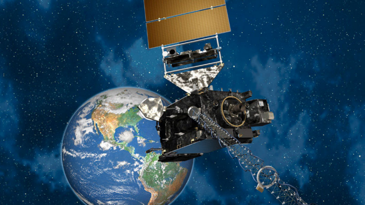
The GOES-West weather satellite has had problems ever since it reached orbit and went into operation in 2018. Meant to capture images and data that is critical to meteorologists and researchers, the malfunctions and flawed data have been of huge concern to the engineers and operators responsible for the satellite. Fortunately, the problem was identified,…
-
Tonga Volcano Eruption Seen From Space, NASA Scientists Weigh in on the Power of the Volcanic Blast
By now, you have seen the images and video of the Hunga-Tonga-Hunga-Ha’apai volcano explosion in the Pacific Ocean. Geostationary weather satellites in space captured some of the first images of the eruption. The Himawari-8 satellite operated by the Japanese Meteorological Agency (JMA) captured this view directly overhead of the eruption. Satellite based data showed the…

