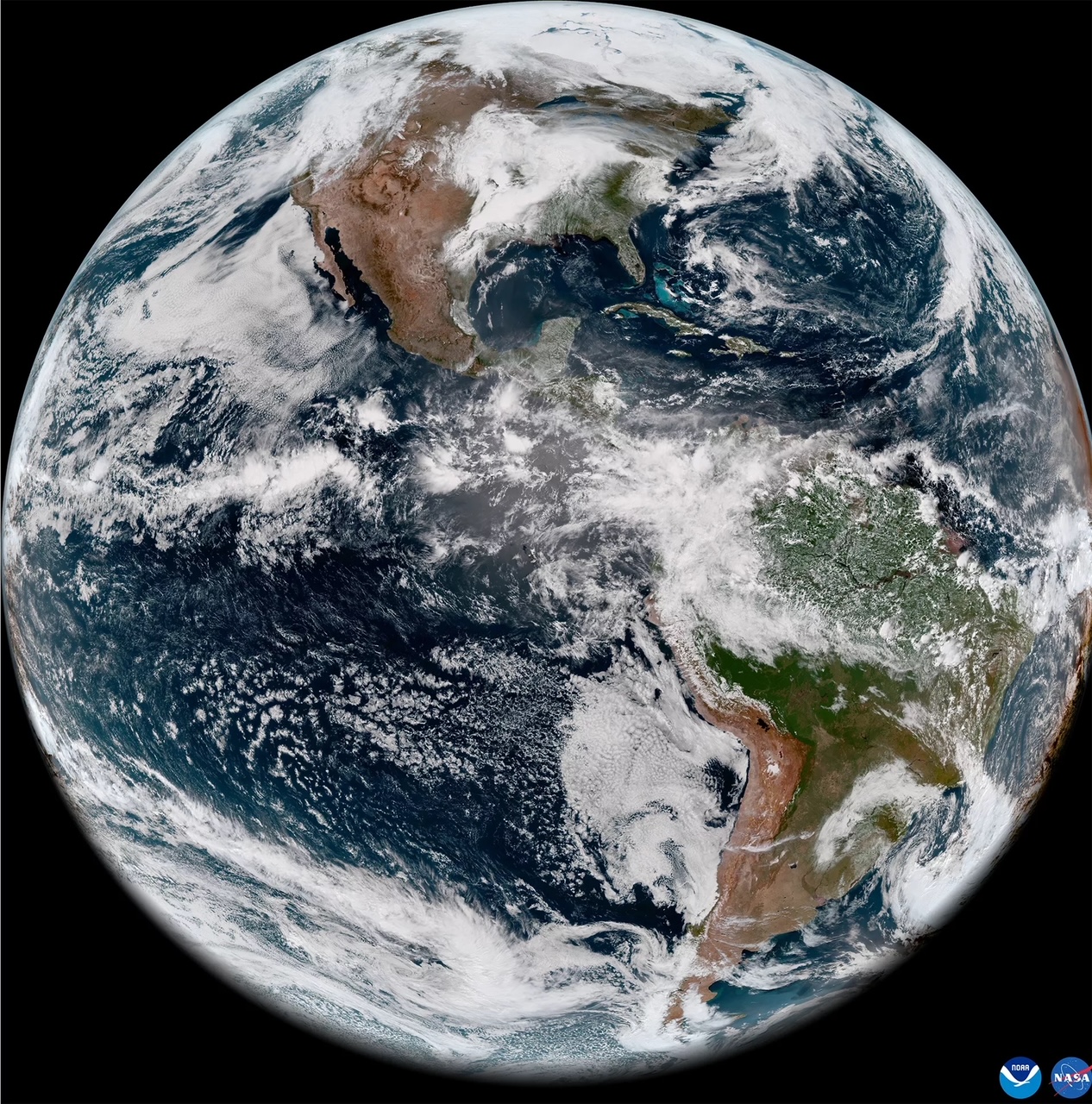
The National Oceanic and Atmospheric Administration (NOAA) has released the first images from the GOES-18 weather satellite. The images were taken on May 5th and show the capabilities of the GOES Advanced Baseline Imager (ABI) 16 channels.

The first four are visible and near-infrared, and the next ten are infrared. Data from the ABI is used for a variety of applications from severe weather warnings and short-term forecasts to wildfire and volcano monitoring and turbulence detection. Images can also be combined to highlight areas of interest.

GOES-18 was launched on March 1st as a replacement for the ailing GOES West satellite. The GOES satellites orbit the Earth at an altitude of 22,236 miles above the equator. From this vantage point, the satellites can monitor the same area and track weather systems as they happen.
NOAA reports that so far, the GOES-18 satellite is healthy and is still undergoing post launch testing and calibration of instruments. The cooling system in the ABI unit is performing well, and no signs of the issue that affected the GOES West ABI have shown up. The cooling system was redesigned for GOES-18.

In late summer of this year, GOES-18 will assist in GOES West operations, and again in early fall. If all goes well, by early 2023 NOAA will make GOES-18 the new GOES West. GOES-17 will then be placed into on-orbit storage.
This article was previously published by Michael Galindo on ChicagoNow.

